News
Early Morning Earthquake Shakes Four States

TEXARKANA – Residents across the ArkLaTex region reported feeling a tremor on Thursday morning after an earthquake hit along the Arkansas-Louisiana border. Registering 3.3 on the Richter scale, the epicenter was tracked to near Uncertain, Texas south of the Texarkana area.
The U.S. Geological Survey (USGS) reported the quake’s epicenter at a depth of 6 kilometers near 32.6952°N latitude and 94.0751°W longitude. The event caused light shaking in the surrounding areas, with the maximum Community Determined Intensity (CDI) reaching level IV, indicating minor effects and no reported damage.
The tremor was felt in parts of Northern Texas and western Louisiana, including Shreveport and other nearby communities. A total of 132 responses were collected through the USGS’s Community Internet Intensity Map, with the majority of reports indicating weak to light shaking. No injuries or significant structural impacts have been reported, but residents were briefly startled by the seismic activity in the region.
Southwest Arkansas, Northwest Louisiana, and East Texas are regions that generally experience low to moderate seismic activity due to their location within the interior of the North American tectonic plate, away from major fault lines. However, earthquakes in this area are often attributed to ancient fault systems that occasionally become reactivated due to tectonic stress. Historically, these regions have experienced infrequent but noticeable earthquakes, typically with magnitudes below 4.5. One of the more notable historical events occurred in 1981 near the Arkansas-Louisiana border, where a magnitude 4.6 quake startled residents and caused minor structural damage.
In recent decades, there has been increased attention to seismic activity in East Texas, particularly in areas where hydraulic fracturing (fracking) and wastewater injection are common. Studies have linked these activities to induced seismicity, leading to small but measurable earthquakes in regions previously considered geologically stable. Although most of these quakes are minor, they have raised concerns about the potential for larger events and the need for monitoring. Despite their relatively low seismic risk, residents of this tri-state area remain aware of the possibility of earthquakes due to the region’s geological history and evolving human activities.
News
El Dorado Schools Adjust School Day For Makeup Time
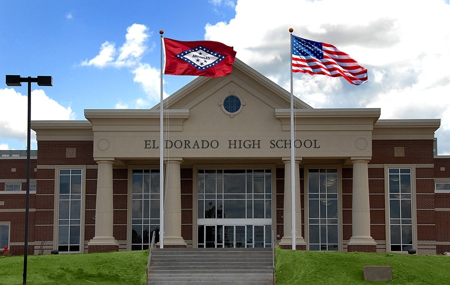
EL DORADO, Ark. — The El Dorado School District announced adjustments to several previously scheduled early-release days as the district works to make up instructional time lost due to inclement weather earlier this school year.
According to district officials, all schools will now dismiss at 3:25 p.m. on four upcoming Wednesdays that were originally planned as early-release days. The changes affect the following dates:
- March 18
- April 1
- April 8
- April 15
Under the revised schedule, students will remain in school for a full day on those Wednesdays instead of being released early.
District leaders said the adjustment is part of an effort to recover classroom time missed during weather-related school closures. Schools across Arkansas have faced several disruptions this winter due to snow and icy conditions, forcing districts to modify calendars and schedules to ensure students meet required instructional hours.
By extending the school day on dates that were originally scheduled for early dismissal, the district can recapture additional instructional time without significantly altering the remainder of the academic calendar.
Parents and families are encouraged to note the updated dismissal times and plan transportation accordingly, as pickup and bus schedules will reflect the later release.
School officials said they appreciate the community’s flexibility as the district works to maintain continuity in learning and keep students on track academically.
Additional updates regarding school schedules and district announcements are typically shared through official El Dorado School District communication channels.
News
SAU Receives Transformational $4.5M Gift
MAGNOLIA – Southern Arkansas University is proud to announce a transformational $4.5 million gift from the Windgate Foundation to establish the Windgate Scholars Program Scholarship Endowment, marking the largest single donor gift for scholarships in the University’s history.
“This is a defining day for Southern Arkansas University,” said SAU President, Dr. Bruno Hicks. “The Windgate Foundation has long believed in the power of education to change lives, and this extraordinary gift ensures that belief will continue to open doors for students who might otherwise see college as out of reach. We are deeply grateful for Windgate’s trust, generosity, and enduring commitment to our students.”
The Windgate Scholars Program Scholarship Endowment will provide ongoing support for need-based scholarships, with a dedicated portion of annual proceeds supporting Studio Art scholarships beginning in 2027. The endowment builds upon the Windgate Foundation’s long-standing partnership with SAU and significantly expands its impact by creating a permanent source of scholarship support.
We are deeply grateful for Windgate’s trust, generosity, and enduring commitment to our students.
– Dr. Bruno Hicks, SAU President
“The SAU Foundation is deeply grateful for Windgate’s enduring commitment to our students,” said Steve Card, chair of the Southern Arkansas University Foundation Board of Governors. “Their past support has had a lasting impact across campus, and this endowment ensures that impact will continue year after year. It is a meaningful example of philanthropy that not only responds to today’s needs but also thoughtfully plans for tomorrow.”
 At a time when rising costs and economic uncertainty are reshaping how students and families view higher education, this historic investment ensures that access to an SAU education will remain within reach for students with the greatest financial need for generations to come.
Creating pathways when they matter most
For many SAU students, including first-generation college students and those balancing work, family, and financial challenges, need-based scholarships are essential. The Windgate Scholars Program has enabled students from Arkansas, across the region, and beyond to persist, graduate, and contribute meaningfully to their communities.
This historic investment also aligns with SAU’s Mulerider Next Step Guarantee, a career-readiness initiative designed to prepare students for their careers after graduation. By reducing financial barriers, this investment directly supports student success and reinforces SAU’s commitment to preparing students for graduate school or their future careers.
With the establishment of the Windgate Scholars Program Scholarship Endowment, this gift stands as a powerful affirmation of Windgate’s commitment to SAU, its students, and the enduring impact of generosity.
A partnership rooted in impact
Since 2019, the Windgate Foundation has been a steadfast partner of SAU, supporting initiatives that reflect a shared commitment to access, creativity, and educational excellence. With more than $5.8 million in support, these investments have made a meaningful impact across campus, including:
- Support for the Windgate Scholars Program, providing need-based scholarships that reduce financial barriers and create pathways for at-risk students to pursue higher education.

- Funding to support the College of Education and Human Performance, empowering students and faculty while preparing graduates for impactful careers as educators and leaders.
- Studio Art scholarships that support emerging artists and creative professionals.
- An endowment for the Department of Art and Design, providing resources that enhance hands-on training, connect classroom learning to real-world experiences, and expand opportunities for travel and internships.
This latest gift dramatically extends that legacy, transforming annual support into a permanent endowment that will sustain and grow opportunity far into the future. By establishing this endowment, the Windgate Foundation ensures that its investment will continue to support students year after year, reflecting a deep commitment to both access and responsible stewardship.

News
Former Teacher, EHS Grad Holds Book Signing Saturday

News
Father Bob Allen Charitable Clinic announces new APRN
News
“CLOSE RACES” END AS LANDSLIDES
EL DORADO – South Arkansas Now spent the last two weeks speaking to people as they exited the early voting location at the El Dorado Municipal Auditorium. Those who spoke with us were promised three things: 1) We would not ask their name, 2) We would NOT ask them for whom they voted and 3) What were their predictions on certain races. The consensus among those we spoke with, leading up to yesterday’s tallying of the votes was, “It’s a toss-up!” “I’d say 50/50!” and one man suggested, “Flip a coin, that’s gonna be about as accurate as trying to predict it at this point.” Each participant said they knew who they voted for but had no idea how the rest of the city would vote.
You may be asking yourself, “Which race are you talking about?” Which is a very good question, because those responses above are all from three different races and yet were most answers we received when talking about 1) The Mayor’s Race, 2) City Attorney’s Race, and the 3) ½ cent sales tax. Prior to going live with last night’s coverage of election returns, B.A. “Sandy” Sanford, Grant Merrill and Jax Sanford all seemed to agree on one key point; it could be a long night if the votes are close.
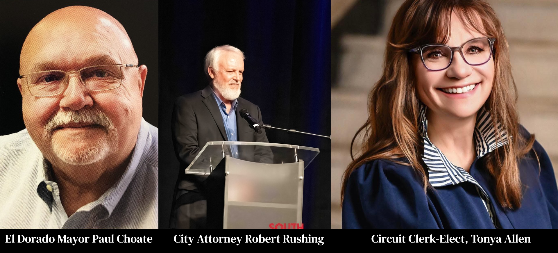
However, once the totals began to roll in, it was anything but close in all three of those races. Mayor Paul Choate, who took office in 2023 after defeating previous Mayor Veronica Smith-Creer, was on the ballot with a Republican challenger in political newcomer Reko Roberson. Voters we spoke with seemed to expect a close race. However, Mayor Choate retained the nomination with 74% of the vote, a count of 875 to Roberson’s 307. Daniel Roberts, a political strategist with ties to Northwest Arkansas, Northeast Louisiana, and the DFW Metro said, “I only have limited knowledge of that race, but from what I saw, Roberson spent most of his time reaching out and trying to include people who were not likely to vote in the Republican primary. From where I sit, it appears he should have spent more time with those who are likely voters and convince them of his vision.”
The second race, another that was supposed to be “neck and neck,” was the historic race for City Attorney. If there had ever been a contested election for the office, no one could recall it. Robert Rushing, who took office in 2023 after running unopposed the previous year, found himself with an opponent in Ryan Wolf. The position, which is considered part-time, pays a little more than $22,000 annually. Which begged the question of why someone with a law degree would spend so much time, energy, and money running for that role? Political Strategist Noah Blankenship watched South Arkansas Now’s live stream of the political debate in preparation for this story. Blankenship, who has advised U.S. Senators, Congressmen, Governors, and Presidents, said, “I think that was a question on every voter’s mind. They looked at this relative newcomer who inserted himself into local politics. There’s nothing wrong with that. Frankly, it’s admirable in many circles. But when you come out of nowhere and you jump with both feet into a race for a job that pays below the national poverty line, people ask themselves why. I think Mr. Wolf was damaged most by the debate you hosted and streamed online. His refusal to deny that he was told to run for office or that someone else was pulling his strings was the first red flag. I think the second warning sign was that he proudly stated on six occasions that he would do whatever the Mayor and City Council told him to do. As an outsider looking in, I was taken aback by that statement the first time he said it. Then to go and proudly reannounce five more times seemed amateur and foolish. Finally, I think his statement about running Dollar General Stores gave voters a sour taste. Look, we all love the people at our Dollar General, I know I do. However, that doesn’t mean you want them babysitting your kids, pastoring your church or keeping your city within the law.” Blankenship said.
At the end of the night, Robert Rushing retained his nomination from the party to represent them in the upcoming General Election in November. Rushing ended the night with 679 votes to Wolf’s 475 or a 59% – 41% split.
The third race that was on the radar, but no one could confidently call ahead of time was the “Access for Life” ½ cent sales tax. The proposed tax would be for maintenance and facilities at South Arkansas Regional Hospital. “I think the overall thought was it would pass, but no one knew by what margin. Talking to voters after they left the polls, they expected it to be a very close race.” Grant Merrill, co-owner of South Arkansas Now, said. Blankenship looked over the results and said, “Of course, I’m not in El Dorado. I’m sitting in my office in Austin, Texas. So, I don’t have a finger on the pulse. But I must admit, this one surprised me a little. I fully expected it to pass. I was thinking it would garner 57, maybe 58 percent of the vote. But congratulations to the people who put that campaign together; they obviously attacked that strategically. But let me say this, and I think this is the most important take from this election. Neighbors aren’t talking to each other. There is no reason people should be saying the mayoral race is a coin flip, and he wins with 74% of the vote. There had to be a disconnect. And it’s not just there; we are seeing this around the nation in the races we are working; people are not discussing their votes with their neighbors, churchgoers, co-workers or anyone else. That leaves a void on the public’s sentiment, and I think that’s what we just witnessed in three key races in El Dorado.” The final count on the Access for Life tax was 1371 in favor to 673 opposed.
In other races, Jill Weinischke easily handled challenger Shane Calaway, 249-122, to remain the Republican nominee for El Dorado City Council Ward One. In the Smackover-Norphlet School Board race, Derrick Goodwin defeated Cliff Preston 55-40. The Union County Justice of the Peace race for District 8, between Adam Robertson and Randy Hendricks was decided with Robertson winning 171-99. Union County Circuit Clerk winner Tonya Bass-Allen was easily the highest vote gaining candidate of the night, defeating Kelly McWilliams Ward 1964-805. The race for Union County Assessor between Misti Rawls-Conley and Carrie Langley was slightly closer, with Langley winning by a vote of 1493-1214.
The General Election in November will see races for El Dorado Mayor, City Attorney, as well as City Council seats in Wards 1, 2, and 3.
-

 News5 months ago
One Killed In South Arkansas Crash
-

 News6 months ago
El Dorado Man Killed In US 82 Accident
-

 News1 year ago
El Dorado man killed in single vehicle crash
-

 News2 months ago
BREAKING NEWS: President Trump Nominates Union County Man To Federal Bench
-

 Regional News9 months ago
Unlicensed Teen, Adult Relative Charged With Manslaughter In 150 MPH Fatal Crash
-

 Regional News1 year ago
Radio DJ known as “Roy D. Mercer” passes away Friday
-

 Obituaries12 months ago
Parker Hammett, Addis LA
-

 News8 months ago
South Arkansas Woman Killed In Single Car Crash


